Localization of Smart Devices
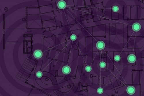
A new system developed by researchers at MIT and elsewhere helps networks of smart devices cooperate to find their positions in environments where GPS usually fails. An emerging concept, the “localization of things,” enables those devices to sense and communicate their position. This capability could be helpful in supply chain monitoring, autonomous navigation, highly connected smart cities, and even forming a real-time “living map” of the world. Experts project that the localization-of-things market will grow to $128 billion by 2027.
The concept hinges on precise localization techniques. Traditional methods leverage GPS satellites or wireless signals shared between devices to establish their relative distances and positions from each other. But there’s a snag: Accuracy suffers greatly in places with reflective surfaces, obstructions, or other interfering signals, such as inside buildings, in underground tunnels, or in “urban canyons” where tall buildings flank both sides of a street. Researchers from MIT, the University of Ferrara, the Basque Center of Applied Mathematics (BCAM), and the University of Southern California have developed a system that captures location information even in these noisy, GPS-denied areas. A paper describing the system appears in the Proceedings of the IEEE.
In simulations of harsh scenarios, the system operates significantly better than traditional methods. Notably, it consistently performed near the theoretical limit for localization accuracy. Moreover, as the wireless environment got increasingly worse, traditional systems’ accuracy dipped dramatically while the new soft information-based system held steady. “When the tough gets tougher, our system keeps localization accurate,” says Moe Win, a professor in the Department of Aeronautics and Astronautics and the Laboratory for Information and Decision Systems (LIDS), and head of the Wireless Information and Network Sciences Laboratory. “In harsh wireless environments, you have reflections and echoes that make it far more difficult to get accurate location information. Places like the Stata Center [on the MIT campus] are particularly challenging, because there are surfaces reflecting signals everywhere. Our soft information method is particularly robust in such harsh wireless environments.”

The researchers are now designing ways to use less computation power to work with resource-strapped nodes that can’t transmit or compute all necessary information. They’re also working on bringing the system to “device-free” localization, where some of the nodes can’t or won’t share information. This will use information about how the signals are backscattered off these nodes, so other nodes know they exist and where they are located.
For more detail, please click this.